

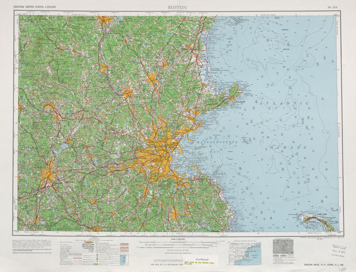
You can find on this page the Boston topographic map to print and to download in PDF. The Boston elevation map present the topography, river and relief of Boston in USA.
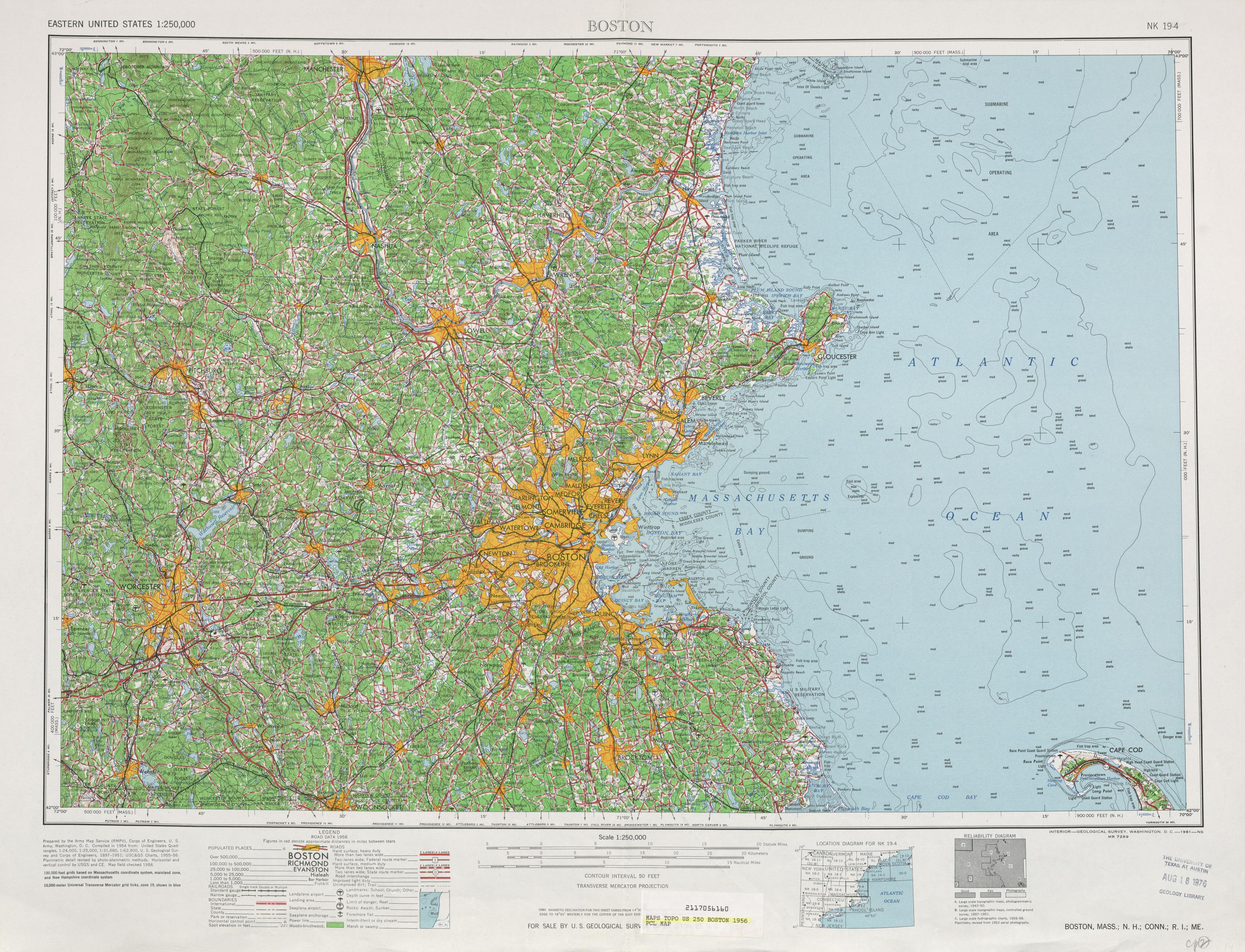
The Boston topographic map shows elevation, hills and landforms in Boston. This elevation map of Boston will allow you to know topography, river and relief of Boston in USA. The Boston topographic map is downloadable in PDF, printable and free.
Elevation on Boston map, as measured at Logan International Airport, is 19ft (5.8 m) above sea level. The highest elevation point in Boston is Bellevue Hill at 330 feet (100 m) above sea level, and the lowest point is at sea level. Boston is situated near the Atlantic Ocean, with an ocean coastline.
Bellevue Hill is the highest elevationpoint in the city of Boston and Suffolk County. It rises to a height of an elevation of 330 feet (101m) above sea level. Located in the West Roxbury neighborhood of Boston map, the closest major intersection is that of Washington Street and West Roxbury Parkway.
Numerous drumlins form low elevation hills in Boston and islands that dot the harbour. Boston was called Trimountain because of its dominating three-topped hill on the northwest corner near the mouth of the Charles River (see Boston elevation map). Beacon Hill is its only surviving, reduced, remnant.